The digital age has ushered in an era of unprecedented understanding of our planet, driven by the transformative power of remote sensing. This technology, which allows us to observe Earth from a distance, is not merely a data collection tool; it is a fundamental pillar in the digitalization of our world, providing insights that were previously unattainable. As we grapple with global challenges like climate change, resource depletion, and urban expansion, the ability to monitor and analyze our planet with precision has become indispensable.
The Multi-Dimensional Power of Remote Sensing:
Remote sensing encompasses a diverse range of technologies, each offering a unique perspective on Earth:
- Optical Imaging: Captures visible and near-infrared light, providing detailed imagery for land cover classification, urban mapping, and environmental monitoring. Modern satellites and drones offer increasingly high-resolution imagery, revealing intricate details of our landscape.
- Thermal Infrared Sensing: Measures emitted thermal radiation, enabling us to map temperature variations, monitor wildfires, and assess urban heat island effects. This is crucial for understanding climate change impacts and managing energy resources.
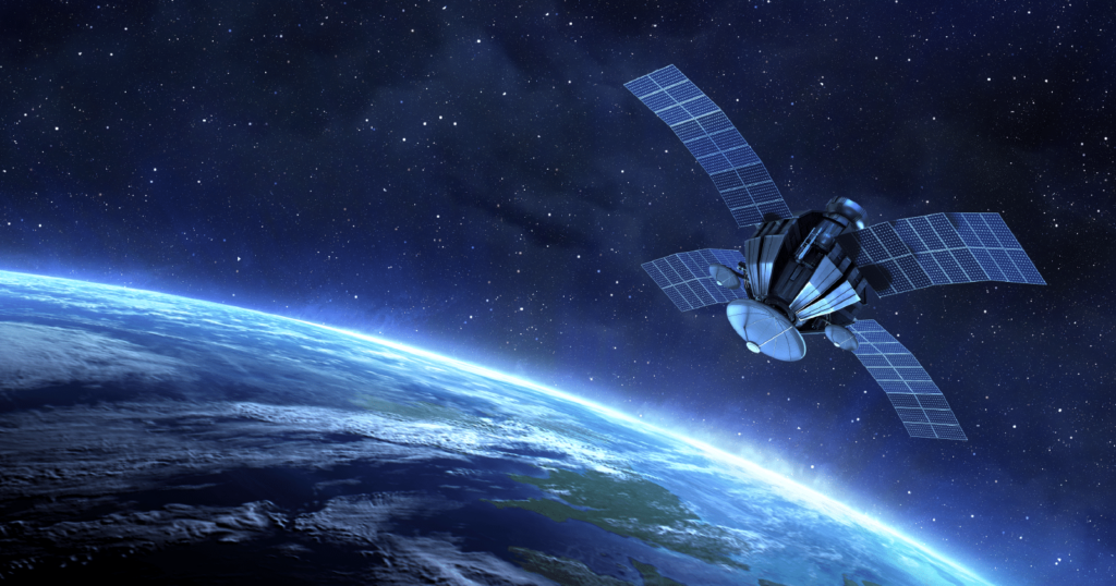
- Radar (Synthetic Aperture Radar – SAR): Emits microwave radiation and measures backscatter, providing information about surface topography, soil moisture, and ice conditions, even through clouds and at night. SAR interferometry techniques can detect subtle ground deformations, vital for monitoring geological hazards and infrastructure stability.
- Lidar (Light Detection and Ranging): Uses laser pulses to create highly accurate 3D models of terrain and vegetation, supporting applications in forestry, urban planning, and infrastructure management. Airborne and spaceborne lidar systems are revolutionizing our understanding of forest structure and carbon storage.
- Hyperspectral Imaging: Captures detailed spectral information across a wide range of wavelengths, enabling the identification of specific materials and chemical compositions. This is invaluable for precision agriculture, mineral exploration, and environmental monitoring.
The Digital Ecosystem and its Applications:
The true power of remote sensing is realized through its integration with other digital technologies:
- Geographic Information Systems (GIS): Provide a framework for storing, analyzing, and visualizing geospatial data, enabling us to integrate remote sensing data with other information layers.
- Cloud Computing and Big Data Analytics: Enable the processing and analysis of vast amounts of remote sensing data, facilitating the extraction of meaningful insights.
- Artificial Intelligence (AI) and Machine Learning (ML): Automate data analysis tasks, such as image classification, object detection, and change detection, significantly accelerating the pace of research and decision-making.
- Data Interoperability and Open Data Initiatives: Promote the sharing and integration of remote sensing data
Ready to contribute to a more sustainable future with digital Earth technologies? We can help you implement data-driven solutions. Contact us to discuss your initiatives